
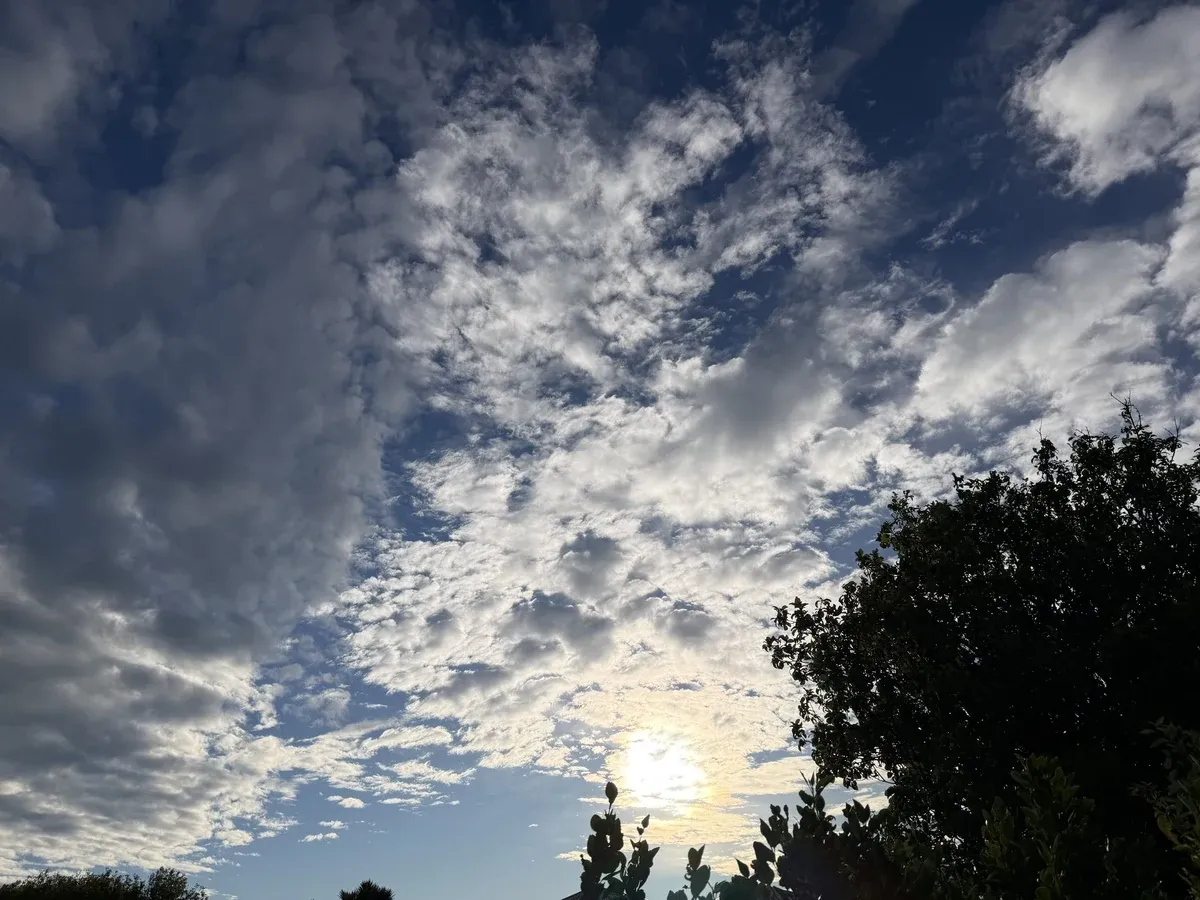
Invercargill is in for a warm Tuesday that turns showery and possibly thundery later, before a cooler, more changeable stretch through the rest of the week. MetService has today's high at 24°, with overnight lows easing into the mid-teens as showers arrive this evening. There are no weather warnings for Invercargill or Southland.
Tuesday 10 November
Invercargill Airport was 12° at 7.30am, feeling like 11° in a northeasterly of about 22 km/h. Humidity was 79%, the pressure was 1018 hPa and falling, and it has been dry so far this morning after 1.9mm in the previous 24 hours. MetService expects a partly cloudy morning, then occasional showers this afternoon and evening, which may be heavy and thundery. Northeasterlies hold through the day. The high is 24° and tonight's low is about 11°. Sunrise was at 6.10am and sunset is at 8.52pm. Hourly guidance from MetService points to a dry, warming morning and early afternoon, with temperatures lifting into the low 20s by mid-afternoon, then the main rain arriving from late afternoon into the evening. About 9mm is signalled for the day as a whole, with the heaviest burst around early evening as the wind eases and turns more southerly. Keep plans flexible from mid-afternoon and have a jacket handy. WeatherWatch also has thunderstorms developing this afternoon, with highs in the low to mid-20s and fairly breezy east to northeasterlies. MetService's 24° is used here.
Wednesday 11 November
Mostly cloudy, with a few showers developing in the morning. Light winds at first, then southwesterlies developing in the afternoon. High 18°, low 10°. The overnight showers from Tuesday may linger into the early hours before easing, with another lighter burst possible around the middle of the day. A milder but greyer day than Tuesday, and a step cooler. WeatherWatch is similar on the morning-shower theme, with a high around 17°.
Thursday 12 November
Mainly fine, with the chance of a shower. Westerlies. High 16°, low 8°. A better day for getting outside if the shower stays light, though it is cooler again after Tuesday's warmth. WeatherWatch is windier for Thursday, calling for brisk westerlies around 40 km/h and afternoon showers, with a high nearer 14°. Worth watching if you have outdoor plans that hate a stiff breeze.
Friday 13 November
Partly cloudy, with the chance of a shower until evening. Westerlies, dying out in the evening. High 14°, low 6°. The coolest day of the working week on MetService numbers, with a sharper overnight drop toward 6°. WeatherWatch is a touch drier and a degree cooler on the high, with a mix of sun and cloud and breezy to brisk westerlies.
Saturday 14 November
Partly cloudy. Northerlies developing in the evening. High 16°, low 9°. A quieter Saturday on MetService, with no solid rain signal and a mild evening as the wind turns northerly. WeatherWatch has it mostly cloudy and a degree or so warmer, still largely dry.
Sunday 15 November
Mostly cloudy with the chance of a shower. Northerlies. High 20°, low 9°. Sunday looks the milder day of the weekend on MetService, climbing back toward 20°, though cloud and the chance of a shower keep it from feeling fully settled. WeatherWatch is wetter and windier for Sunday, with afternoon showers, north to northwesterlies around the mid-30s km/h, and several millimetres of rain. MetService's milder, lighter-shower outlook is preferred for now, but Sunday is worth a fresh check closer to the weekend.
Monday glance
Monday 16 November: rain and westerlies. High 15°, low 9°. WeatherWatch is cooler again at about 12°, with showers. The unsettled theme looks set to continue into early next week.